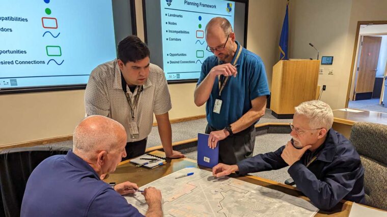
Webinar: Share Your Project Story Using GIS StoryMaps
Thursday | 11:30-12:00 pm (CST)
REQUEST ON-DEMAND WEBINAR
The challenges you face within local government to provide thriving communities are complex and ever-changing. It has never been more important to be efficient and leverage resources that prepare you for what’s next.
A geographic information system (GIS) is a framework that integrates information into a single interface, helping organizations improve data management and meet the needs of communities.
Share Your Project Story Using GIS StoryMaps, the third installment of Symbiont’s three-part GIS Web Series, is now available by request. In this recorded webinar, you will learn how StoryMaps, an application included in ArcGIS online, can be used to increase community engagement and illustrate community initiatives.
We guide you through emerging GIS solutions for thriving communities and provide technical insights on how municipalities are using StoryMaps to:
- Illustrate community initiatives
- Share project stories as part of their community engagement strategy
- Easily integrate maps, videos, and photos from their GIS to weave their project narrative
Information within this webinar will be particularly relevant to:
- Directors of Public Works
- Wastewater Superintendents/Supervisors
- Water System Supervisors
- Directors of Economic Development
- City Administrators
- Engineering Staff
- Information/Technology Professionals
- Directors of Parks/Forestry
Cost: Complimentary for clients and friends of the firm
REQUEST ON-DEMAND WEBINAR
EMAIL RYAN ECKDALE-DUDLEY, GISP AT RYAN.DUDLEY@SYMBIONTENGINEER.COM
Symbiont GIS Web Series Presenters
Next-Level GIS Strategist & Designer
Symbiont | Innovator of the Year Recipient
GIS Project Manager & Analyst
Symbiont
GIS Specialist
Symbiont